10X
Days to Minutes Images to Insights
Faster
5X
Insights on a Diet Small Files, Big Answers
Compression
3X
Data on a Dime Cheaper Than Therapy
More Affordable
From Sensor to Insight:
A Journey Through STORM Data
Step 0
Unveiling the Earth: Capturing Satellite Imagery
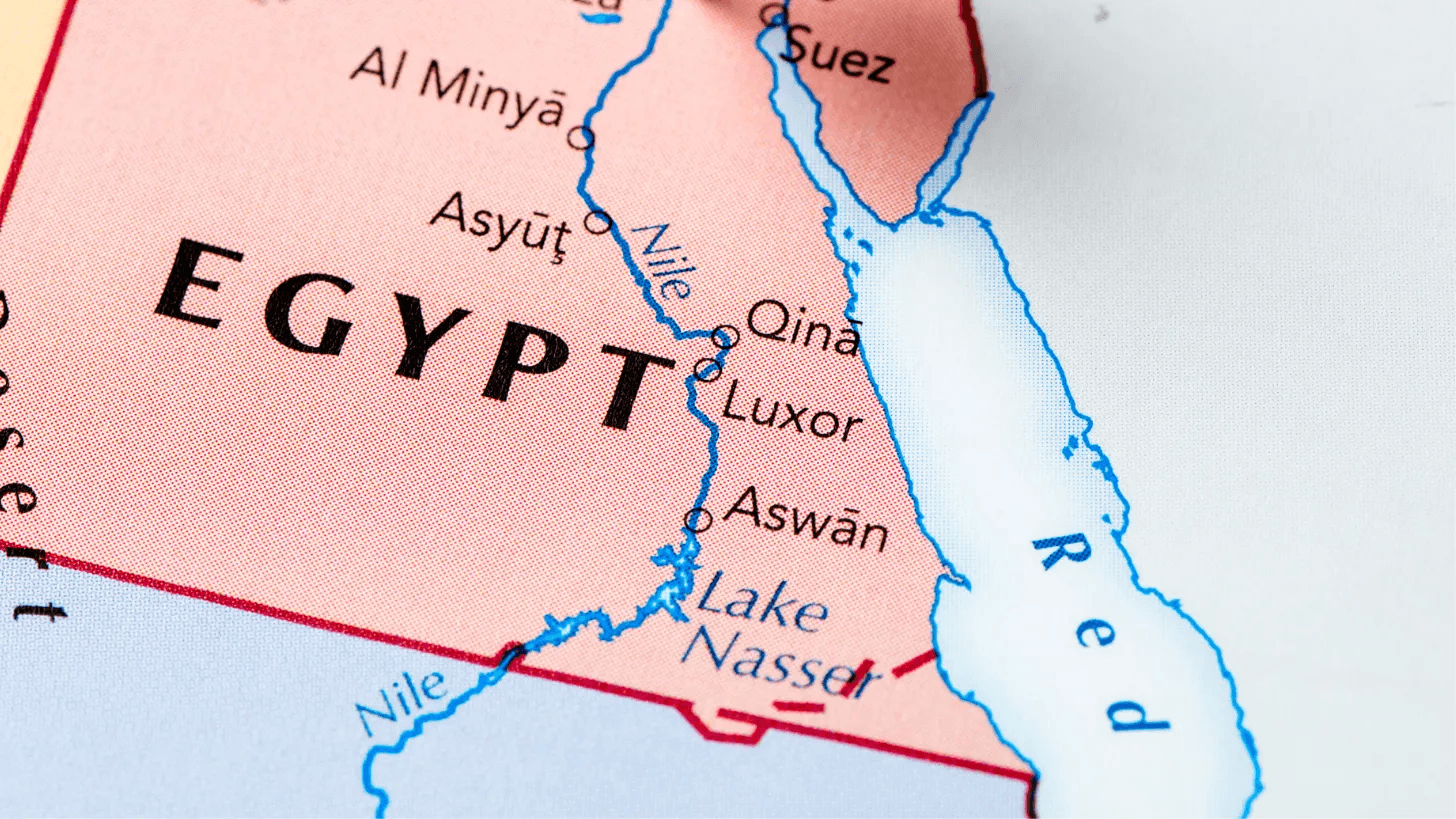
This was the input image for STORM. It was a wide-swath image covering more than 210,000 sq.km, including the Egyptian stretch of the Nile River Valley on the left to the Red Sea on the right. The Red Sea facilitated the shortest shipping route between Asia and Europe, carrying more than 15% of global trade by value. STORM would have performed a series of processing steps on this image to generate insights.
The input image was from Step 0.
The slider shows the difference between the input image (Left) and post denoise image (Right).
The noise sigma estimated for the input image is 0.47.

Step 1
Cut Through Noise:
Sharpen Data
Satellite images often develop artefacts due to the harsh space environment. These artefacts appear as grainy particles, reducing the usefulness of the data. Uncorrected, they could lead to very inaccurate interpretations. A well-established solution was denoising, typically performed in ground-based labs after the image download. STORM's denoising algorithm actively found and removed the noise in the image, delivering a consistent and error-free output.
The input image was from Step 0.
The slider shows the difference between the input image (Left) and post denoise image (Right).
The noise sigma estimated for the input image is 0.47.


Step 2
AI-Powered Insights:
Extracting Valuable Information
Due to the configuration of imaging satellites, executing an imaging operation may require the satellite to re-orient from pointing away from earth to the imaging target. To generate accurate insights all images other than the target will need to be filtered out. STORM utilizes a Deep Learning classifier model running on the satellite's Vision Processing Unit (VPU) to assess image usability. As shown in the video here, this AI identifies the image type and then makes a decision: continue to the next step or purge the image and terminate.
Runtime: 3000 ms
Accuracy: 99%

Step 3
See Through Clouds: Precise Cloud Detection
Atmospheric effects like clouds and haze hindered electro-optical sensors. These effects caused insights generated from the sensors to produce false values when encountering clouds in the area of interest. To address this challenge, STORM utilized a cloud detection model to actively detect and segment clouds within the denoised image from Step 1.
Runtime: 300 ms Accuracy: 95%


Step 4
Chart the World:
Land & Water Defined
When working with coastal regions, it was preferred to segment waterbody and land regions so that the eventual application had the right context. This was run on the denoised image from Step 1, before any end-use models ran on the land or water pixels. The advantage of this step was that it reduced the computation resources needed and the number of pixels to be processed in subsequent steps. Unlike conventional water segmentation models, a spectral ratio approach was used to identify water regions in the absence of the Near Infrared (NIR) band.
Runtime: 750 ms

Step 5
Know Your Land:
Vegetation Revealed
We can classify any landmass into multiple categories which helps us understand land-use patterns in the area. By repeating this classification over time, changes alongside anthropogenic phenomena can be tracked. STORM ran a pixel-level classifier on the land pixels. A spectral ratio approach that leverages visible bands was used in the absence of the Near Infrared (NIR) band.
Runtime: 1000 ms


Results
Insight from STORM
Within a minute of loading STORM onto the satellite, it generated the Cloud Mask, Water Mask, and Vegetation Classification. Together, this combination was called an insight. To achieve this, STORM utilized the VPU and CPUs available on the satellite itself. When viewed holistically, this image informed us about the presence of clouds, water bodies, and the vegetation cover across the imaged region.

Exploring Sensor Data & Interactive Maps
Sensor Specification


AI-powered intelligence, built directly into satellites.
Products

© 2026 SkyServe. All right reserved.
SkyServe is building the intelligence layer for smart satellites, bringing AI-powered Earth observation and edge computing directly into space. By processing satellite imagery and sensor data onboard, SkyServe enables faster insights while reducing latency, bandwidth requirements, and unnecessary data downlink. Our platform enables satellite operators to deploy, manage, and task GeoAI models in orbit,
turning raw Earth observation data into near real-time, actionable intelligence. From maritime monitoring and defence to climate and disaster response, agriculture, critical infrastructure, and environmental intelligence, SkyServe helps satellites understand the world as it happens. With onboard AI, satellite edge computing, and intelligent data processing, SkyServe is helping create a new generation of smarter, more responsive satellites—bringing decision-ready intelligence closer to where data is captured.
